ESA Affirms Open Access Policy For Images, Videos And Data
From the post:
ESA today announced it has adopted an Open Access policy for its content such as still images, videos and selected sets of data.
For more than two decades, ESA has been sharing vast amounts of information, imagery and data with scientists, industry, media and the public at large via digital platforms such as the web and social media. ESA’s evolving information management policy increases these opportunities.
In particular, a new Open Access policy for ESA’s information and data will now facilitate broadest use and reuse of the material for the general public, media, the educational sector, partners and anybody else seeking to utilise and build upon it.
“This evolution in opening access to ESA’s images, information and knowledge is an important element of our goal to inform, innovate, interact and inspire in the Space 4.0 landscape,” said Jan Woerner, ESA Director General.
“It logically follows the free and open data policies we have already established and accounts for the increasing interest of the general public, giving more insight to the taxpayers in the member states who fund the Agency.”
…
A website pointing to sets of content already available under Open Access, a set of Frequently Asked Questions and further background information can be found at http://open.esa.int.
More information on the ESA Digital Agenda for Space is available at http://www.esa.int/digital.
…
A great trove of images and data for exploration and development of data skills.
Launched on 1 March 2002 on an Ariane-5 rocket from Europe’s spaceport in French Guyana, Envisat was the largest Earth observation spacecraft ever built. The eight-tonne satellite orbited Earth more than 50 000 times over 10 years – twice its planned lifetime. The mission delivered thousands of images and a wealth of data used to study the workings of the Earth system, including insights into factors contributing to climate change. The end of the mission was declared on 9 May 2012, but ten years of Envisat’s archived data continues to be exploited for studying our planet.
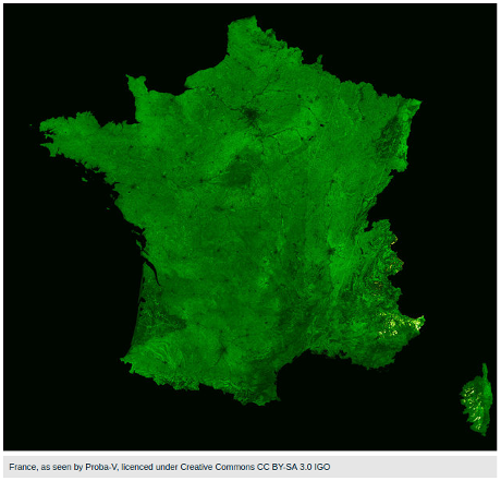
With immediate effect, all 476 public Envisat MERIS or ASAR or AATSR images are released under the Creative Commons CC BY-SA 3.0 IGO licence, hence the credit for all images is: ESA, CC BY-SA 3.0 IGO. Follow this link.
The 476 images mentioned in the news release are images prepared over the years for public release.
For addition Envisat data under the Open Access license, see: EO data distributed by ESA.
I registered for an ESA Earth Observation Single User account, quite easy as registration forms go.
I’ll wander about for a bit and report back on the resources I find.
Enjoy!
PS: Not only should you use and credit the ESA as a data source, laudatory comments about the Open Access license may encourage others to do the same.