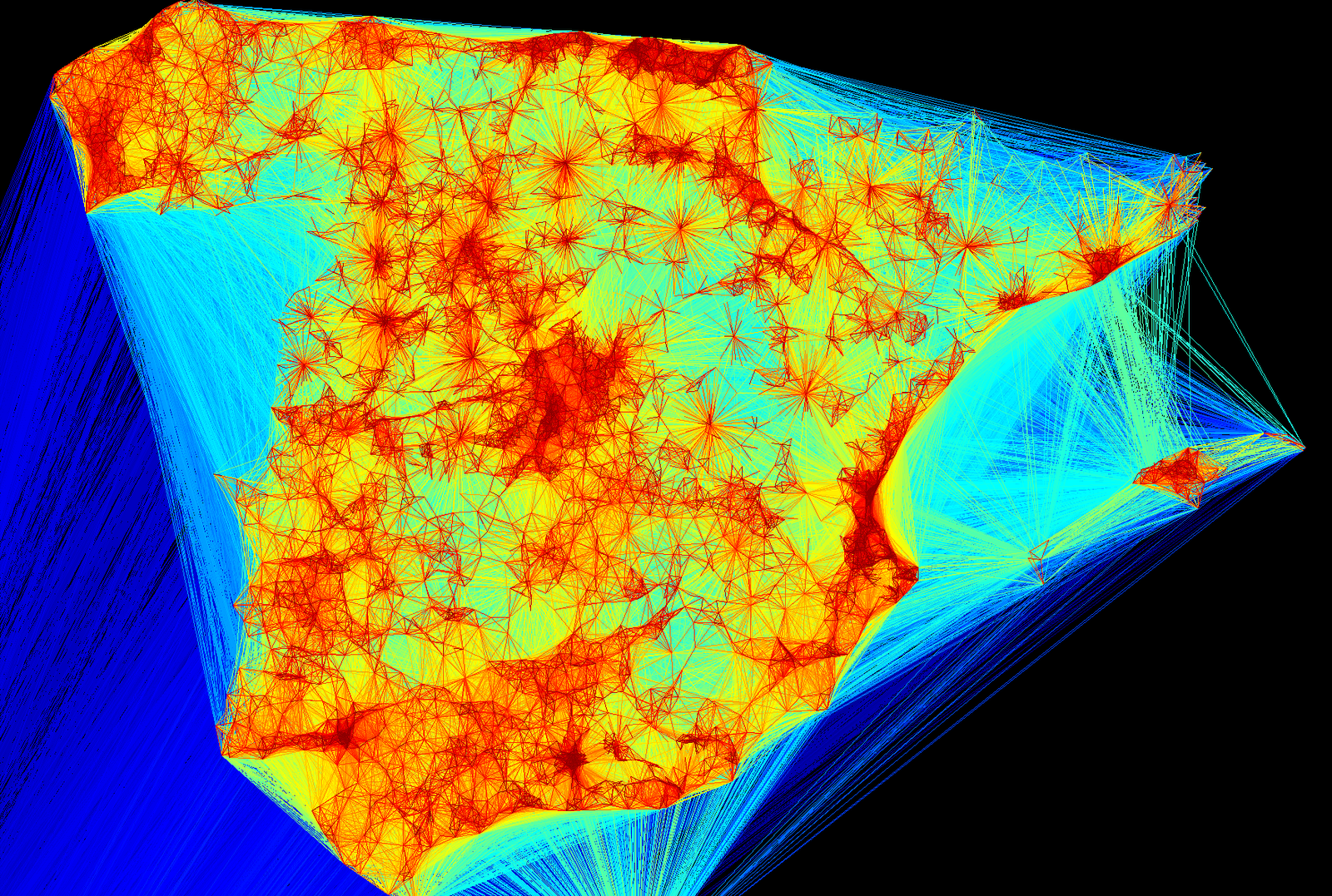
GeoLocation Friends Visualizer by Marcel Caraciolo.
Slides from a presentation at the XXVI Pernambuco’s Python User Group meeting.
Code at: https://github.com/marcelcaraciolo/Geo-Friendship-Visualization
Just to get you interested:
If you had the phone records (cell and land) from elected and appointed government officials, you could begin to build a visualization of the government network.
In terms of an “effective” data leak, it is hard to imagine a better one.