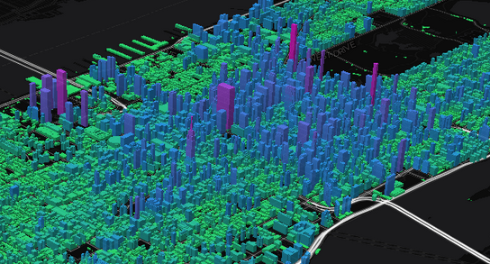
How we made the NY Manhattan Buildings 3D Map?

Partially a promotion for Mapli but not an unwelcome one. The starter package begins at $49/month (as of 22 Feb. 2019) so is within the range of most users.
This map used data already available from OpenStreetMap, but you can create your own data set for less well known locations.
The uses of 3D maps of urban locations range from planning the placement of surveillance cameras, sniper or counter-sniper locations, “high ground” positions in the event of civil disturbances, and others.
Data science plays “favorites,” but only for those with data.
Corporations and governments are collecting data. Shouldn’t you?