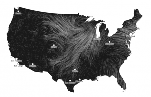
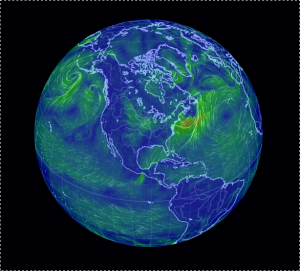
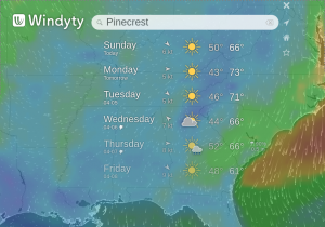
A Twitter thread started by Data Science Renee mentioned these three wind map resources:
EarthWindMap Select “earth” for a menu of settings and controls.
Windyty Perhaps the most full featured of the three wind maps. Numerous controls that are not captured in the screenshot. Including webcams.
Suggestions of other real time visualizations of weather data?
Leaving you to answer the question:
What other data would you tie to weather conditions/locations? Perhaps more importantly, why?


