NASA just released 2.95 million satellite images to the public — here are 21 of the best by Rebecca Harrington.
From the post:
An instrument called the Advanced Spaceborne Thermal Emission and Reflection Radiometer — or ASTER, for short — has been taking pictures of the Earth since it launched into space in 1999.
In that time, it has photographed an incredible 99% of the planet’s surface.
Although it’s aboard NASA’s Terra spacecraft, ASTER is a Japanese instrument and most of its data and images weren’t free to the public — until now.
NASA announced April 1 that ASTER’s 2.95 million scenes of our planet are now ready-to-download and analyze for free.
With 16 years’ worth of images, there are a lot to sort through.
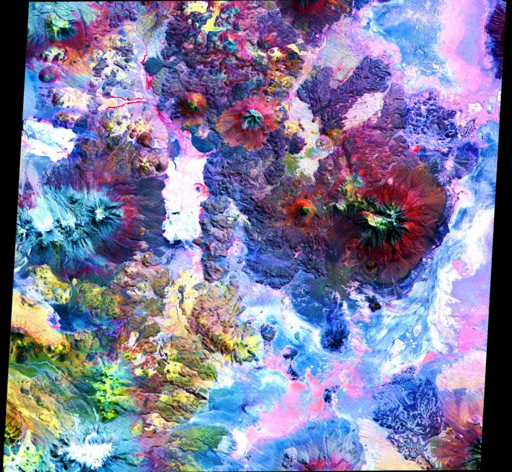
One of Rebecca’s favorites:
You really need to select that image and view it at full size. I promise.
The Andes Mountains. Colors reflect changes in surface temperature, materials and elevation.
