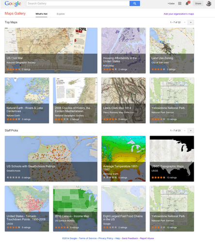
Introducing Google Maps Gallery: Unlocking the World’s Maps by Jordan Breckenridge.
From the post:
Governments, nonprofits and businesses have some of the most valuable mapping data in the world, but it’s often locked away and not accessible to the public. With the goal of making this information more readily available to the world, today we’re launching Google Maps Gallery, a new way for organizations to share and publish their maps online via Google Maps Engine.
Maps Gallery works like an interactive, digital atlas where anyone can search for and find rich, compelling maps. Maps included in the Gallery can be viewed in Google Earth and are discoverable through major search engines, making it seamless for citizens and stakeholders to access diverse mapping data, such as locations of municipal construction projects, historic city plans, population statistics, deforestation changes and up-to-date emergency evacuation routes. Organizations using Maps Gallery can communicate critical information, build awareness and inform the public at-large.
A great site as you would expect from Google.
I happened upon US Schools with GreatSchools Ratings. Created by GreatSchools.org.
There has been a rash of 1950’s style legislative efforts this year in the United States, seeking to permit business to discriminate on the basis of their religious beliefs. Recalling the days when stores sported “We Reserve the Right to Refuse Service to Anyone” signs.
I remember those signs and how they were used.
With that in mind, scroll around the GreatSchools Rating may and tell me what you think the demographics of non-rated schools look like?
That’s what I thought too.
