Despite years of opposition and a large number of donations, the Dakota Access pipeline is moving inexorably towards completion. Charlie Northcott writes in Dakota Access pipeline: Is the Standing Rock movement defeated?:
…
“Our hope is that the new administration in Washington will now provide North Dakota law enforcement the necessary resources to bring closure to the protests,” said Kyle Kirchmeier, the sheriff of the local Morton County Police, in a press release.
The last 1.5 mile (2.4 km) stretch of the pipeline is expected to be completed in less than 90 days.
…
Kyle “Bull Connor” Kirchmeier is the sheriff responsible for spraying Standing Rock protesters with water canon in sub-freezing weather. A real piece of work.
For speculation purposes, let’s assume the government does overwhelm the protesters at Standing Rock.
Aside from completion, what does the 1,172 miles of DAPL require to be used?

It must have no known holes.
That is to say that if the pipeline were breached and that breach was known to the operator (as well as members of the press), no oil would flow.
Yes?
What do we know about the DAPL pipeline?
First, since the pipeline can be approached from either side, there is 2,344 miles of land for staging actions against the integrity of the pipeline.
The pipeline’s right of way is described in: Dakota Access Pipeline Project, U.S. Fish and Wildlife Service, Environmental Assessment, Grassland and Wetland Easement Crossings (May 2016):
…
Construction of the new pipeline would require a typical construction right-of-way (ROW) width of 125 feet in uplands, 100 feet in non-forested wetlands, 85 feet in forested areas (wetlands and uplands), and up to 150 feet in agricultural areas. Following construction, a 50-foot wide permanent easement would be retained along the pipeline. … (page 12)
…
Which means staging areas for pipeline interference activities can be located less than 30 yards (for US football fans) from the DAPL pipeline on either side.
A propaganda site for the DAPL builders helpfully notes:
99.98% of the pipeline is installed on privately owned property in North Dakota, South Dakota, Iowa, and Illinois. The Dakota Access Pipeline does not enter the Standing Rock Sioux reservation at any point.
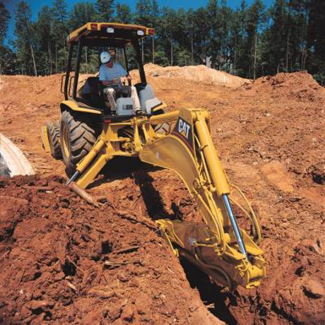
Which of course means that you can lawfully, with the land owner’s permission, park a backhoe,
or, a bulldozer,
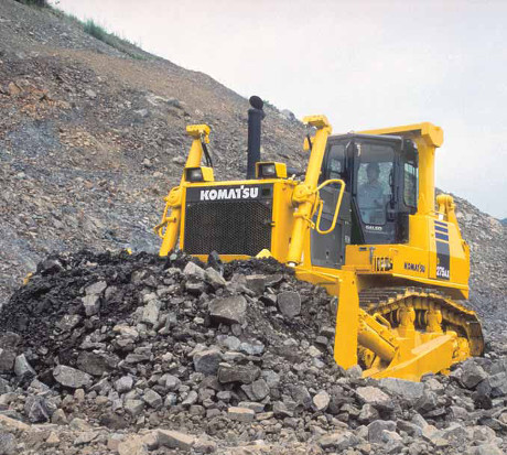
quite close to the location of the DAPL pipeline.
Backhoes, bulldozers and suitable heavy equipment come in a wide variety of makes and models so these images are illustrative only.
The propaganda site I mentioned earlier also notes:
…
The Dakota Access Pipeline is an entirely underground pipeline. Only where there are pump stations or valves of testing stations is there any portion of the pipeline above ground. The pipeline is buried nearly 4 feet deep in most areas and in all agricultural lands, two feet deeper than required by law.
…
which if you remember your army training:
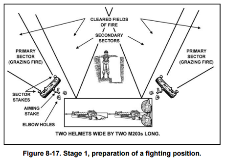
(The Infantry Rifle Platoon and Squad, FM 3-21.8 (FM 7-8) March, 2007, page 8-35.)
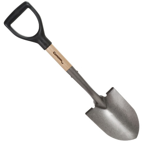
puts the DAPL pipeline within easy reach of one of these:
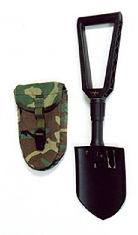
Of course, an ordinary shovel works just as well.
Anyone breaching or damaging the pipeline will be guilty of a variety of federal and state crimes and therefore should not do so.
If you discover a breach in the pipeline, however, you should document its location with a GPS phone and send the image to both local law enforcement and news organizations.
You will need maps to make sure you have discovered a breach in DAPL for reporting. I have some maps that will help. More on 17 February 2017.